Browse Items (572 total)
- Collection: Boston
Sort by:

scan from archaeological dig

This is a digitally sourced image of the MFA's original location in Copley Square in the late 1800s.

This is a digitally sourced image of the MFA's original location in Copley Square in the late 1800s.

A postcard with an illustration of the original MFA in Copley Square.

A portrait of George Washington at Dorchester Heights in March of 1776.
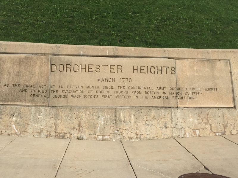
A sign at the entrance of Thomas Park in Dorchester Heights which proclaims the revolutionary significance of the site.

This map (left) shows the West End prior to Urban Renewal, alongside a map (right) that city planners hopes would be accurate of the West End after Urban Renewal was completed. The map on the right shows a far less congested space, whereas the left…

This a great close up of the alterpiece in Emmanuel Church back in 1904. The architect accredited to this particular alterpiece, which has changed much since then, is Francis R. Allen.