Overview
“[T]he lieu de memoire is double: a site of excess closed upon itself, concentrated in its own name, but also forever open to the full range of its possible significations.”
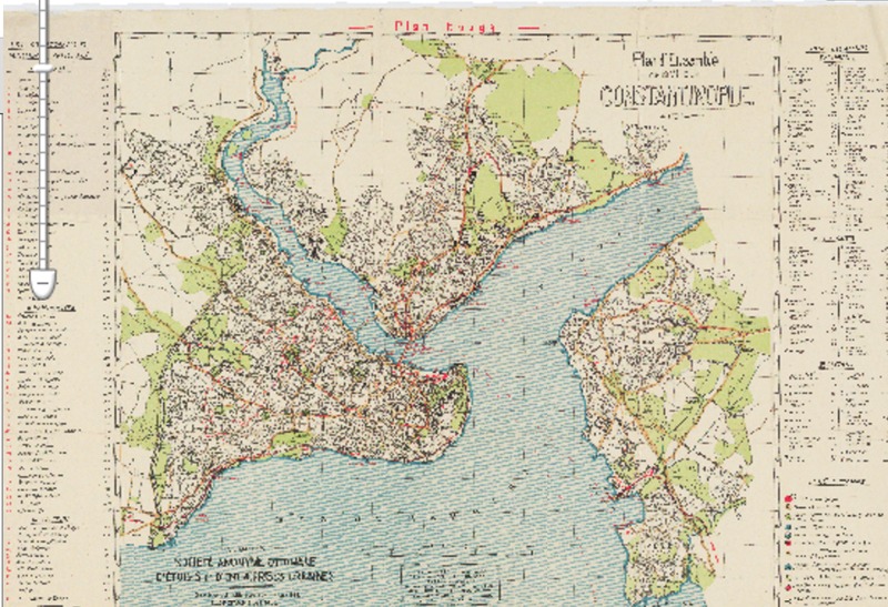
In Pierre Nora’s “Between Memory and History: Les Lieux de Memoire,” Nora explains how a “lieu de memoire” occupies the space between history and memory – an entity of national significance and whose symbolic meaning changes throughout time, relatively separate from the physical object. The Theodosian Walls and Gardens is a “lieux de memoire” as it has a shifting meaning across the centuries (“open to the full range of possible significations”) as it reflects the rise and fall of Constantinople through the Byzantine Empire, the Ottoman Empire, and finally modern-day Republic of Turkey. Originally, a wall built for defense – its image of strength and protection changes to a memorial tourist site and its meaning as a border for the city changes into a historical site that needs to be reworked into to the urban activity happening inside and outside the Golden Horn as the city expands. The history of the wall directly mirrors the history of the rise of the great city, whose modern-day name is Istanbul.

