Browse Items (2042 total)

A map of Bombay in 1764, highlighting the marine role of the city
http://dighist.fas.harvard.edu/courses/2015/HUM54/files/original/b91e3dd74f524c601ba2ce0748a0baa1.png
A zoomed in shot of Bellin's map of Bombay
http://dighist.fas.harvard.edu/courses/2015/HUM54/files/original/44edda460494d3c7b2db08f8111d4cb5.png
A shot contrasting the numerical v. pictorial representation of topography.
http://dighist.fas.harvard.edu/courses/2015/HUM54/files/original/363f3a92c20771a9f25805532a46ea1a.png
The title of the Bellin map.
http://dighist.fas.harvard.edu/courses/2015/HUM54/files/original/59e54b9e975e4135a2c28bbb4b76b651.png
the cardinal directions established linearly
http://dighist.fas.harvard.edu/courses/2015/HUM54/files/original/59e54b9e975e4135a2c28bbb4b76b651.png
the cardinal directions established linearly
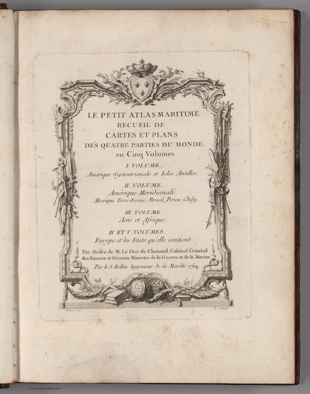
http://dighist.fas.harvard.edu/courses/2015/HUM54/files/original/6a9ecd58fbf0230ff7cc0c4f524b2d2a.jpg
Here is the title page to Bellin's map
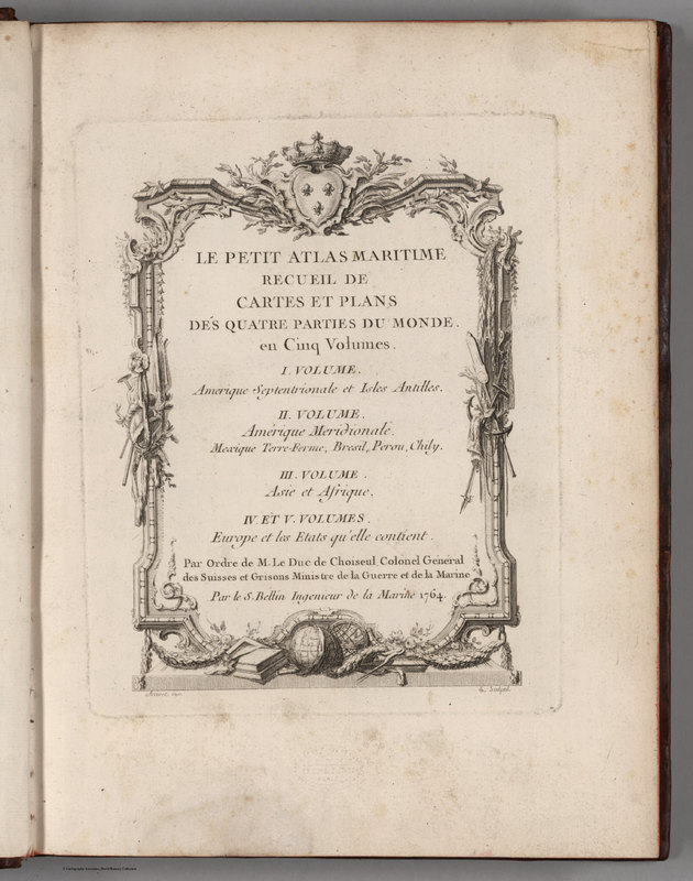
http://dighist.fas.harvard.edu/courses/2015/HUM54/files/original/6a9ecd58fbf0230ff7cc0c4f524b2d2a.jpg
Here is the title page to Bellin's map
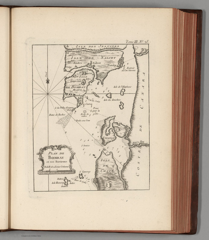
http://dighist.fas.harvard.edu/courses/2015/HUM54/files/original/ba251fe5cc23993215874fa54b1d15aa.jpg
A map drawn of Bombay by a French cartographer in 1764 of the city and its surrounding waters.
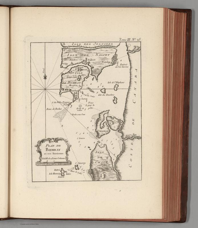
http://dighist.fas.harvard.edu/courses/2015/HUM54/files/original/259bb07b9082aa9caa846d7b499458d5.jpg
This is a map of Bombay in the year 1764
Output Formats

atom, dcmes-xml, json, omeka-xml, rss2