Browse Items (2042 total)
Sort by:

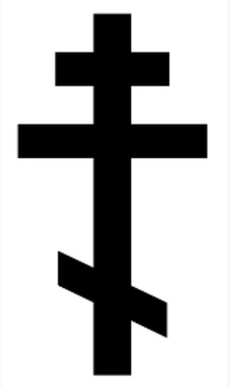
An image of the 3 bar Russian Orthodox cross.

Two maps of the Indian coast with an accompanying description.
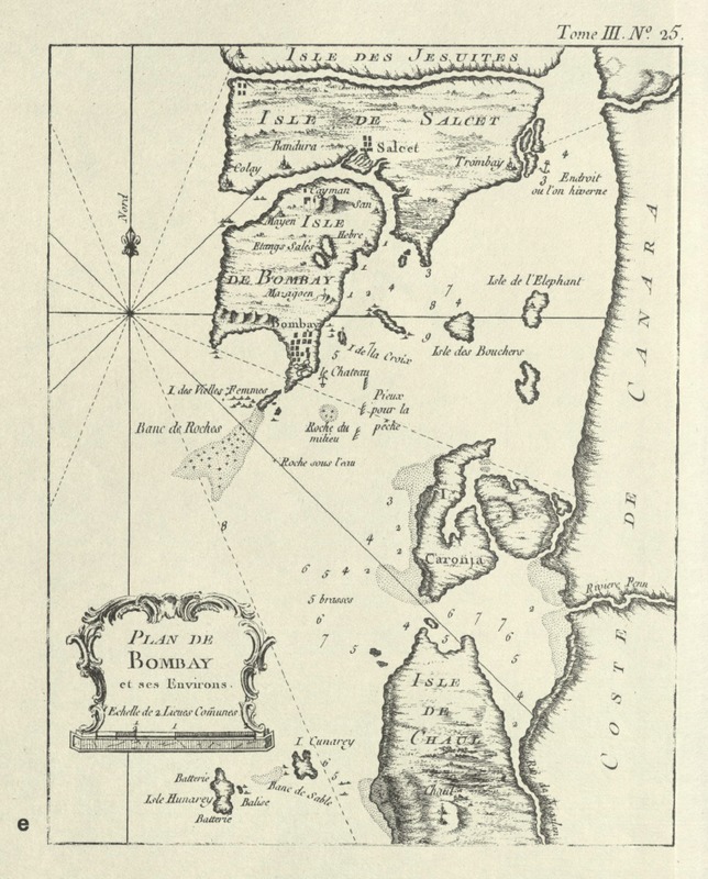
This map is a map of Bombay's seven original islands created by Captain Jacques Bellin in 1764.
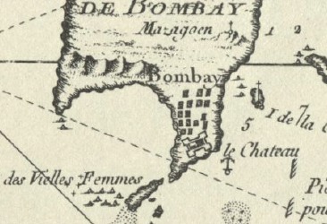
ii. The settlements are drawn in pictorially at the border of the Ile de Bombay. It may suggest that the Captain may have visited on land to the island and thought it was an important landmark for others traveling later to know of the settlements.
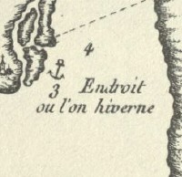
The message suggests a safe space to anchor a place to spend the winter: “Endroit ou l’on hiverne” (place where one winters).
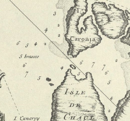
Numbers are scattered around the sea, which relay the information of depths most likely in leagues as mentioned in the legend.
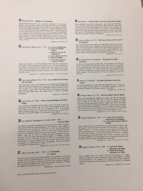
The descriptions of the maps in the atlas, A Series of Early Printed Maps of India in Facsimile, written by Susan Gole. The chosen map refers to map 33. A comparison map is map 43 described later made by Kitchin.
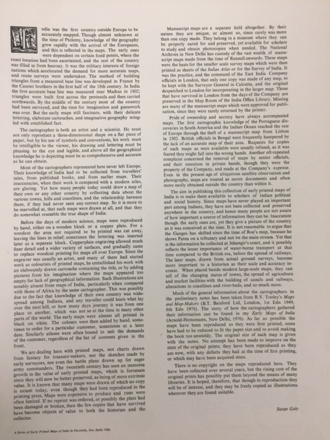
The Introduction in the atlas, A Series of Early Printed Maps of India in Facsimile, written by Susan Gole.