Browse Items (9 total)
Sort by:

An 1893 map of Bombay Island, showing the urban growth and density around the city's core. Note the extreme attention to detail of individual structures.

An image of customers navigating through the GUM in the year of its opening.

An image of the GUM (Upper Trading Rows) at night.

An image of the GUM (Upper Trading Rows) at night.


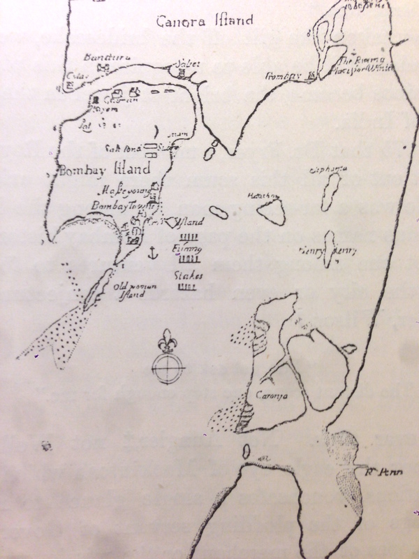
-Fryers map of Bombay, 1675
-Niebuhr's Map of Bombay 1764
-"Dickinson's Map of Bombay, 1812-16, with land reclamations since 1816" (Douglas xvi)
-Niebuhr's Map of Bombay 1764
-"Dickinson's Map of Bombay, 1812-16, with land reclamations since 1816" (Douglas xvi)

-Bombay Government Paper 1676
-A Judgement of the Mayor's Court, 1791
-A Judgement of the Mayor's Court, 1791
Attachement descriptions, in order:
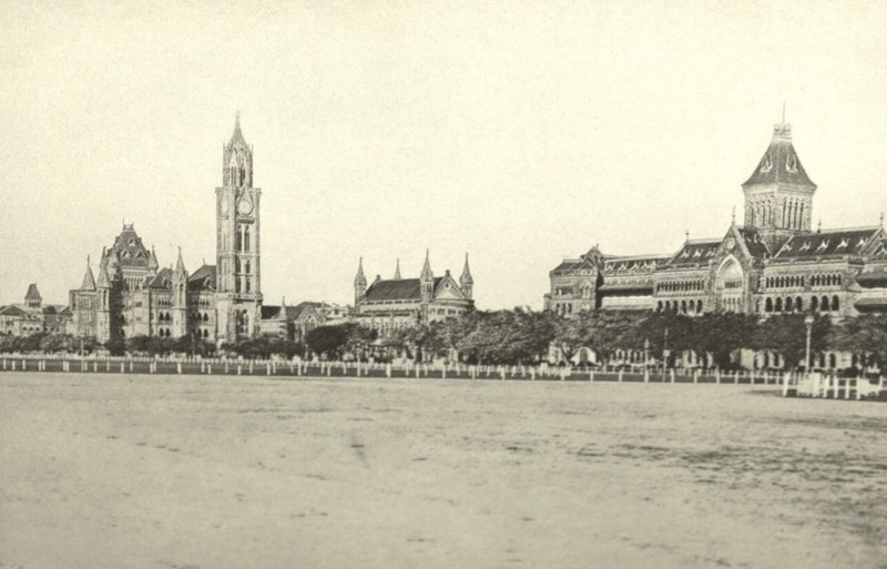
-Photograph of Bombay c.a. 1893
-Image of Catherine of Braganza, Queen of Charles II
-Depiction of Watson and Clives Storming of Geria (a confrontation with Angria pirates)
-Photograph of Bombay c.a. 1893
-Image of Catherine of Braganza, Queen of Charles II
-Depiction of Watson and Clives Storming of Geria (a confrontation with Angria pirates)