Industrialization Through Cartography
In 1855, James Andrew Borun-Ramsay was the Governor-General of India who was a orientalist monarch that was also a self-proclaimed modernizer. During this time, we he oversaw much of the industrialization that was taking place in the city.
“The 1850’s were a decade of great public works activity throughout india. Improvements in internal communications – post,telegraph, and railways – directly contributed to the growth of Bombay’s commerce”
-Morris David Morris (17)
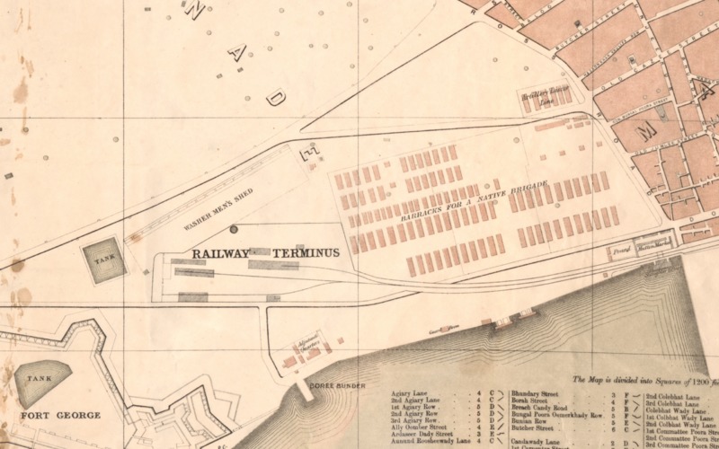
The first railway in India was opened in 1853 between Bombay and Thana, which spanned a distance of about twenty-one miles (Morris 17). At the bottom left corner of the landmass presented on the map, you can see the “Railway Terminus”. Much of what this railway brought was cotton from one place to another. India was becoming one of the main suppliers of cotton. So much so, that they began to surpass other countries in productivity.
" The average annual rate of increase of imports of Indian cotton into England had been one-third that of American cotton between 1800 and 1830 but rose to almost double the American rate between 1830 and 1860. Those imports surpassed in volume those from Brazil from 1839, enabling India to rank as the second source of suply to Lancashire for the next 50 years. From the 1840s onwards India regularly shipped more cotton to the UK than it did to China." - A.J.H. Latham (81)
The importance of Indian cotton in the global market was astounding in the 1850s and hit one of its peaks during the American Civil War. Within a span of ten years, India had raised its share of this world crop from 14% in 1850 to 18% in 1860 (Latham 82). In the end, the expansion of water and land transportation was heavily associated with the “developing trade in raw cotton of which so large a proportion was being channeled through Bombay into international markets” (Morris 17).
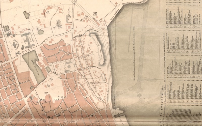
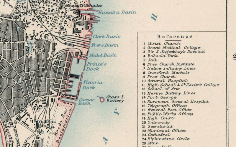
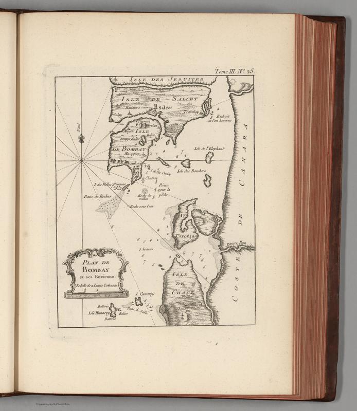
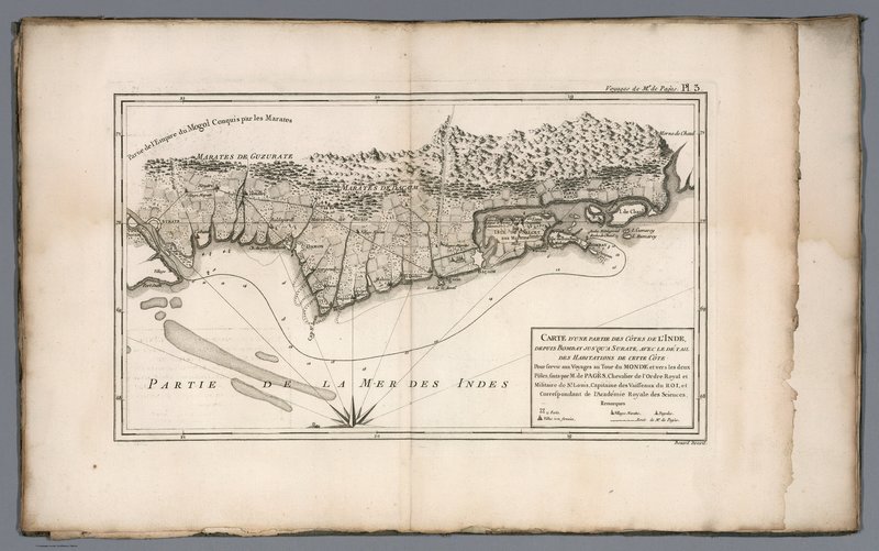
Through maps, we can see a bit of the evolution of Bombay into the industrial center of cotton production and its introduction to world trade. In the earlier maps of 1764 and 1782, there is rarely anything that shows much of any significance on the actual landmass of Bombay. Most maps prior to its industrialization that are available are navigational ones that only show you how to get there. Otherwise, we don’t see maps like the one I’ve centered this discussion appear till the industrialization appears. The map I’ve chosen also only shows the beginnings of industrialization. The “Railway Terminus” is the beginning of land transportation for industrialization. However, the main ports of Bombay aren’t depicted in the map. Instead, there is a section that shows the proposed plans which are then manifested in an 1894 map. This development of land and water transportation, as Morris David Morris mentions in “The Emergence of an Industrial Labor Force In India”.
Morris, Morris David. The Emergence of an Industrial Labor Force in India: A Study of the Bombay Cotton Mills, 1854-1947. Berkeley: U of California, 1965. Print.
Latham, A. J. H., Yasukichi Yasuba, and Heita Kawakatsu. Intra-Asian Trade and Industrialization: Essays in Memory of Yasukichi Yasuba. London: Routledge, 2009. Print.