Globalization and New Bombay
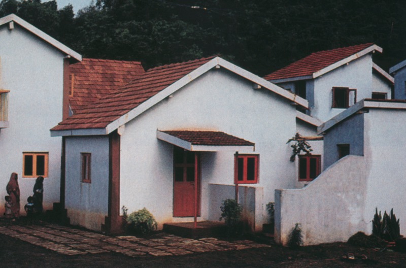
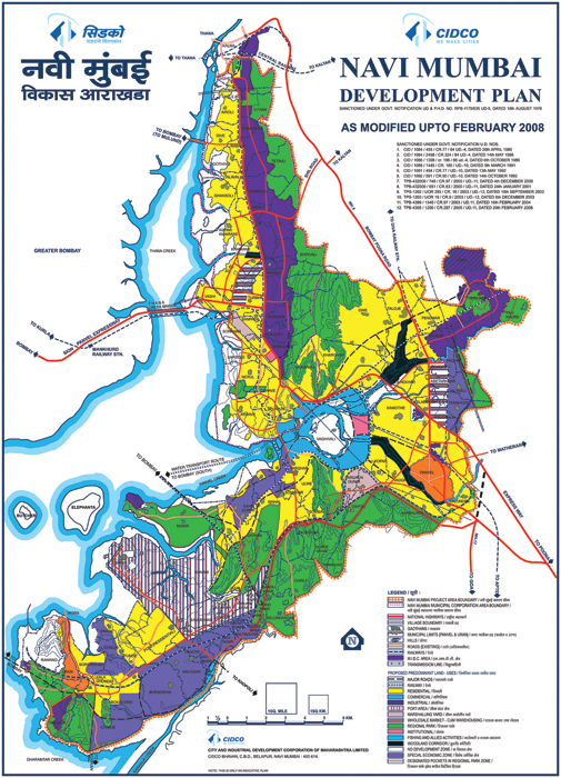
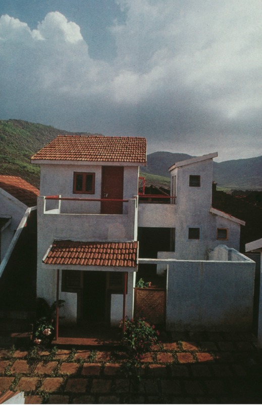
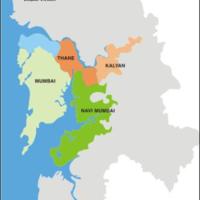
“Road Map to Bombay” primarily depicts transportation and landmarks in the city. Through its bold color and visually coherent symbols, the map is easily understood by its target audience. Although this map is reasonable in illustrating the density of the city, it isn’t representative of the infrastructural problems Bombay faced in the 1960-70s, when this map was beings created. Once India gained its independence, Bombay underwent intense globalization, resulting in rapid growth in density. Many plans were proposed in order to combat the uncontrollable industrialization that the city was unable to support. Initial plans considered decentralizing development by spreading industry and business outward into the suburbs and satellite cities, in hopes to accommodate migrants and decongest the city (1). Eventually, the government approved the plan to create “New Bombay”—an urban township across the existing Bombay port. New Bombay, now known as Navi Mumbai, was seen as a “blank canvas” for renewal projects developing low-income housing, industries, and business in order to unclog the extremely compact city of Bombay (2). It was found, however, that the undertaking resulted in the displacement of thousands of peasants and fisherman. In total, 33 villages were completely displaced and 62 villages lost agricultural property (1). The development in Bombay was geared towards the wealthy, focusing on private development and pushing the poor outwards, enforcing economic division.
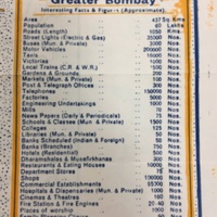
The severe wealth gap in Mumbai is a problem that persists as the city continues to globalize. New Bombay is just one instance of an act that has furthered this dichotomy. Due to Bombay’s inequalities between the rich and poor, and generally between the old and new, Bombay is not quite a global power. The sentiment of the map, being geared towards tourists, is suggestive of a successful transition to a global city for Bombay. The map’s inclusion of statistics about Bombay’s commercial features conveys its perceived development. The fact that the map is included in a tourist guide indicates the city’s position as a worldly destination. The map’s playful nature presents Bombay as a whimsical dreamland. In many ways this is true, manifested in fantastic cultural landmarks and locations within the city. For multiple reasons, however, the illustration of Bombay as a playground for adventure is an illusion, hiding the economic and political stresses of the city.
(1) Parasuraman, S. “Economic Marginalisation of Peasants and Fishermen Due to Urban Expansion: The JNP Project of New Bombay, India.” The Pakistan Development Review, vol. 34, no. 2, 1995, pp. 121–138.
(2) Vedula, Aparna. "Blueprint and Reality: Navi Mumbai, the City of the 21st Century." Habitat International 31.1 (2007): 12-23. Web.