Bombay For Tourists
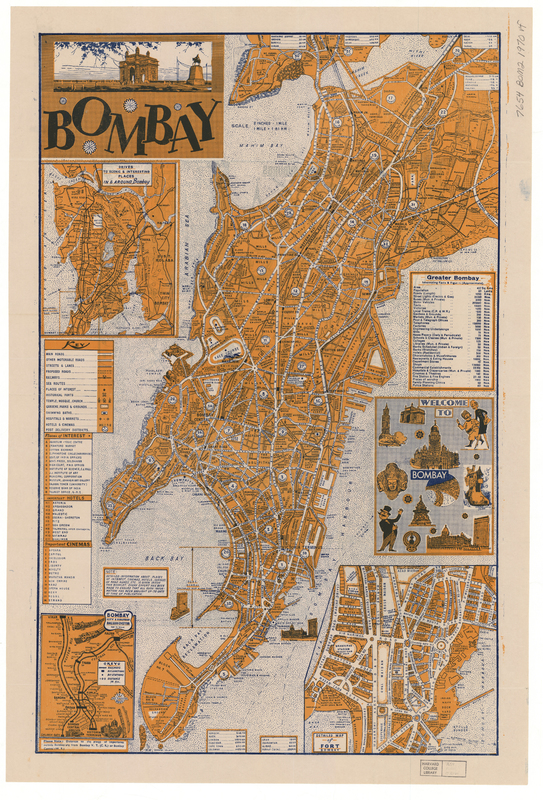
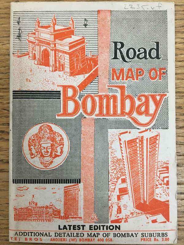
This 1970 map is from a tourist booklet, titled “Road Map of Bombay.” It is attributed to the Tej Brothers, an independent company located in Bombay. The back cover of the booklet states that “Businessman & Tourist Need This Guide”, indicating that the map was geared towards foreign travellers. The map itself includes details about transportation throughout the city, iconic landmarks, and “Interesting Facts & Figures” about Bombay. In addition to the large map of Bombay, the map also includes four smaller maps, such as “Drives To Scenic & Interesting Places In & Around Bombay”, “Bombay City & Suburban Railway-System”, and “Detailed Map of Fort Bombay” on the front, as well as “Road Map of Bombay Suburbs” on the back. This map was published in 1970, a few decades into a newly Independent India. By 1970, Bombay was in a period of rapid industrialization and population growth. As the city developed and industries like Bollywood flourished, the city gained global interest and appeal. Thus, booklets and maps, like “Road Map of Bombay” entered the market for tourists and other foreign visitors of the city.
Bombay in 1970 was a place of vigorous globalization, an outcome of its independence from British rule (1947). As the Bombay’s economy grew and migration into the city exploded, Bombay was experiencing rapid change, some of which it wasn’t able to fully support. With its economic rise, however, Bombay became a popular tourist destination. In this 1970 map of Bombay, the city is depicted as a series of landmarks, full of impressive economic success and fascinating cultural significance. Bombay contains all of that, yet it also includes economic, regional, and infrastructural complications. The map fulfills its intentions as a tool for tourists, so it doesn’t encompass Bombay in its entirety. Thus, this map holds truth in its characterization of Bombay as tourist city, but it fails to speak to the complexity of the development of the city.